
|
|
|
|
Traditional Regions |
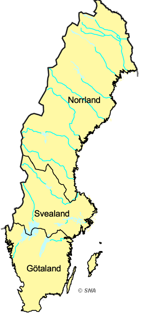 |
Traditional Regions See also ' Traditional Provinces' Source: National Land Survey |
|
Based on the printed version of The National Atlas of Sweden:
Book : The EUGEO Selection (about the book)
Chapter: 1 The State and the Country Section: 1.2 The Building of the Territory |
|
Choose another theme (set of maps):
Search among the map titles:
|
Select other maps on
The EUGEO Selection (60 maps) |
|
Read more about SNA or send email to
[email protected].
Dynamically created 2006-09-25 using template updated 2003-04-07. |
